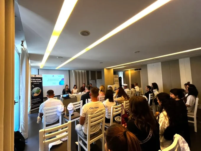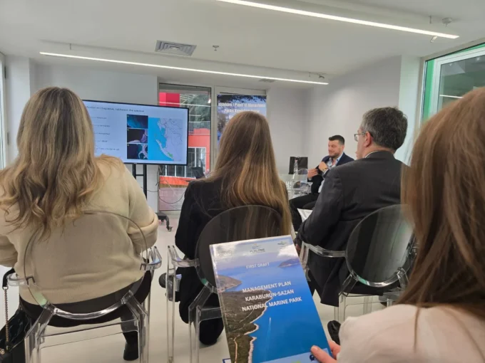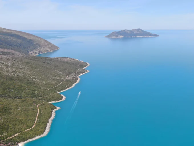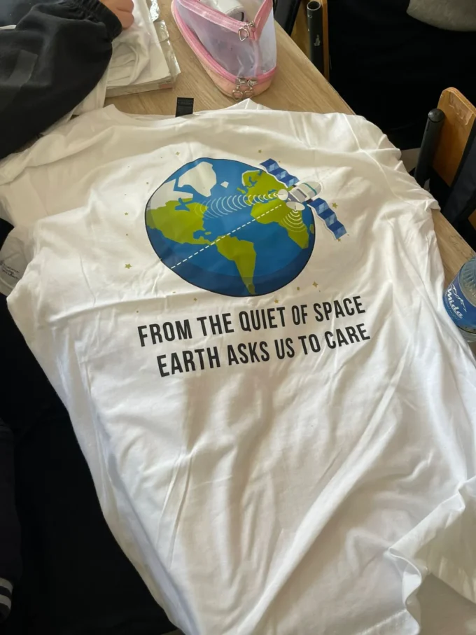
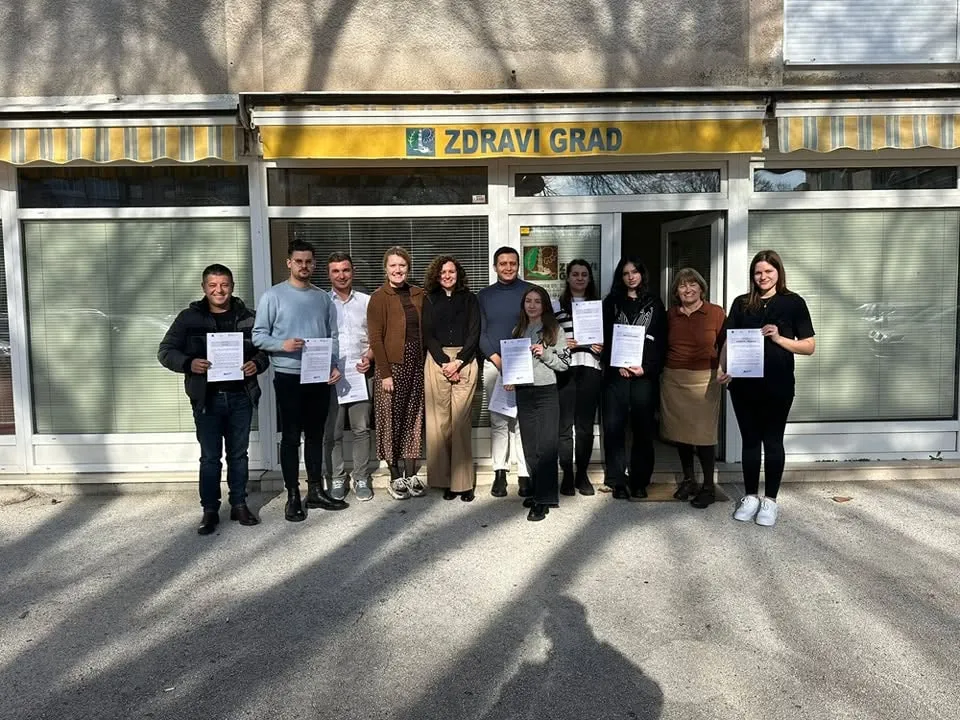
From 12–16 January 2026, as part of the "Space Data for Climate Action" project, Flag Pine Association organized a study visit to Split, Croatia. The activity was implemented in partnership with Zdravi grad and brought together representatives from Flag Pine, the Regional Administration of Protected Areas of Vlora, and the University of Vlora. The visit aimed to strengthen participants' capacities in the use of geospatial technologies for climate change monitoring and sustainable environmental management.
- The study visit combined theoretical sessions, practical training, and meetings with specialized institutions, providing participants with advanced knowledge on the use of satellite data and modern technologies to support climate action.
During the visit, participants were introduced to:
- Methods for using geospatial data to monitor climate and environmental changes at the regional level.
- Platforms and tools for reporting and analyzing the impacts of climate change.
- Funding opportunities available through European Union programmes and international projects focused on climate action, biodiversity conservation, and sustainable development.
An important component of the programme was the practical presentation of SPACE STEM, an educational programme successfully implemented in schools in Split. The programme will also be adapted and introduced in schools across the Vlora Region, contributing to the development of young people's knowledge and skills in geospatial technologies and climate change.
- Training on the Copernicus Browser Platform
A significant part of the study visit focused on the Copernicus Programme, one of the European Union's flagship Earth observation initiatives based on satellite data.
Participants received hands-on training in the use of Copernicus Browser, a platform that enables the visualization and analysis of satellite imagery. The training covered:
- Searching for and selecting satellite imagery.
- Using thematic data layers.
- Comparing satellite data across different time periods.
- Downloading and using satellite data for scientific research, environmental projects, and educational purposes.
Particular attention was given to monitoring changes in land cover, vegetation health, water resources, natural ecosystems, and the impacts of climate change. Through practical exercises, participants developed valuable skills in interpreting satellite data and applying it to environmental planning, research, and project implementation.
- Visit to PAP/RAC
As part of the programme, participants also visited the Priority Actions Programme/Regional Activity Centre (PAP/RAC) in Split. The visit provided first-hand insight into advanced technologies and methodologies used for monitoring coastal ecosystems, assessing climate change impacts, and developing climate adaptation strategies for Mediterranean coastal areas.
- Strengthening Regional Cooperation
The study visit made a significant contribution to enhancing the professional capacities of the participants, promoting the exchange of international experience, and strengthening institutional cooperation between Albania and Croatia in the fields of environmental protection and the application of innovative technologies for climate change monitoring.
The collection and analysis of satellite data represent one of the European Union's key tools for environmental monitoring and evidence-based decision-making. The knowledge and practical skills gained during this study visit will support the implementation of project activities in Albania and contribute to strengthening local climate action initiatives.
The "Space Data for Climate Action" project is implemented by Flag Pine Association in partnership with Zdravi grad, with the financial support of the Ministry of Foreign and European Affairs of the Republic of Croatia.